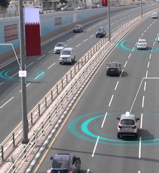
Integrated Analytics and Visualization for Multi-Modality Transportation Data

This research project aimed to develop a data-driven approach for modeling cities, with a focus on pedestrian dynamics, which play a fundamental role in urban planning. It focused on detecting and counting objects such as pedestrians, cars, and bicycles in visual data sources that can provide insight into how people move around a city. The research team used an image database made up of tens of millions of images produced by Brooklyn-based start-up Carmera as its main data source.

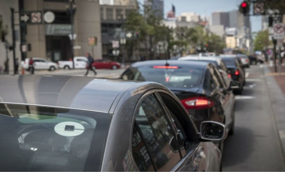
Urban Microtransit Cross-sectional Study for Service Portfolio Design

The knowledge base from this data can be used to support design of portfolios of service options for a city. Given all the myriad of different options and existing public data, can we design a framework that can identify operating strategies that dominate in one or more sustainability criteria and quantify their performances within a portfolio of projects for city agencies to evaluate?

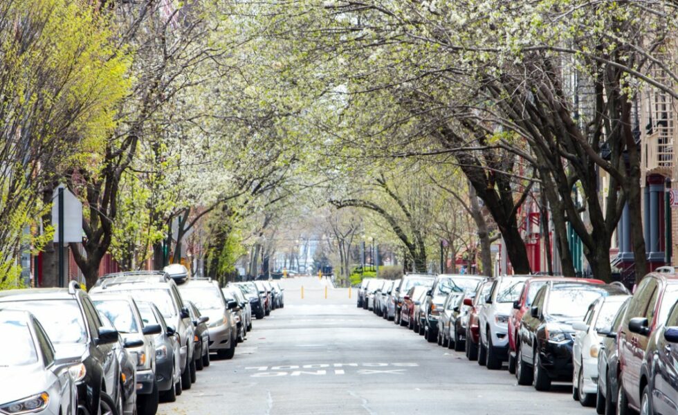
Development of Level of Service Analysis Procedures and Performance Measurement Systems for Parking

This project aims to develop LOS analysis procedures that estimate or measure the average search time for selected types of parking facilities. Additionally, alternative evaluation methodologies for parking operations based on the IOT will be explored. The new smart cities approach to measure customer service is dubbed PMS to distinguish it from the LOS analysis procedure. Cities are interested in making better use of smart meter usage data.

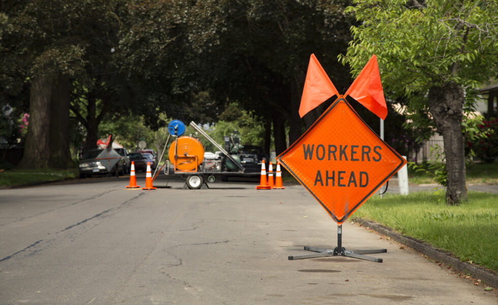
Work Zone Safety: Behavioral Analysis with Integration of VR and Hardware in the Loop

This project aims to understand the key parameters that play a role in achieving responsive behaviors in workers. Through wearable sensors and representations of traffic loads from real data acquired from hardware in the loop systems and work zones in virtual reality, data on workers’ behavioral and physiological responses to warnings issued under various realistic scenarios and varying warning mechanisms will be studied.

Street-level Flooding Platform: Sensing and Data Sharing for Urban Accessibility and Resilience

Access to real-time information on flooding can improve resiliency and efficiency by allowing residents to identify navigable transportation routes and make informed decisions to avoid exposure to floodwater contaminants. While there exist commercially available sensors that detect the presence of water inside homes, there is an unmet need for hyperlocal information on the presence and depth of street-level floodwater.

Wearables to Command More Access and Inclusion in a Smarter Transportation System

This project will increase the safety profile and ease-of-use of the VISION (Visually Impaired Smart Service System for Spatial Intelligence and Onboard Navigation) platform toward ‘connected’ dynamic navigation in complex urban environments, providing a new level of security to the end user and permitting one to break down significant barriers to employment and social interaction.