
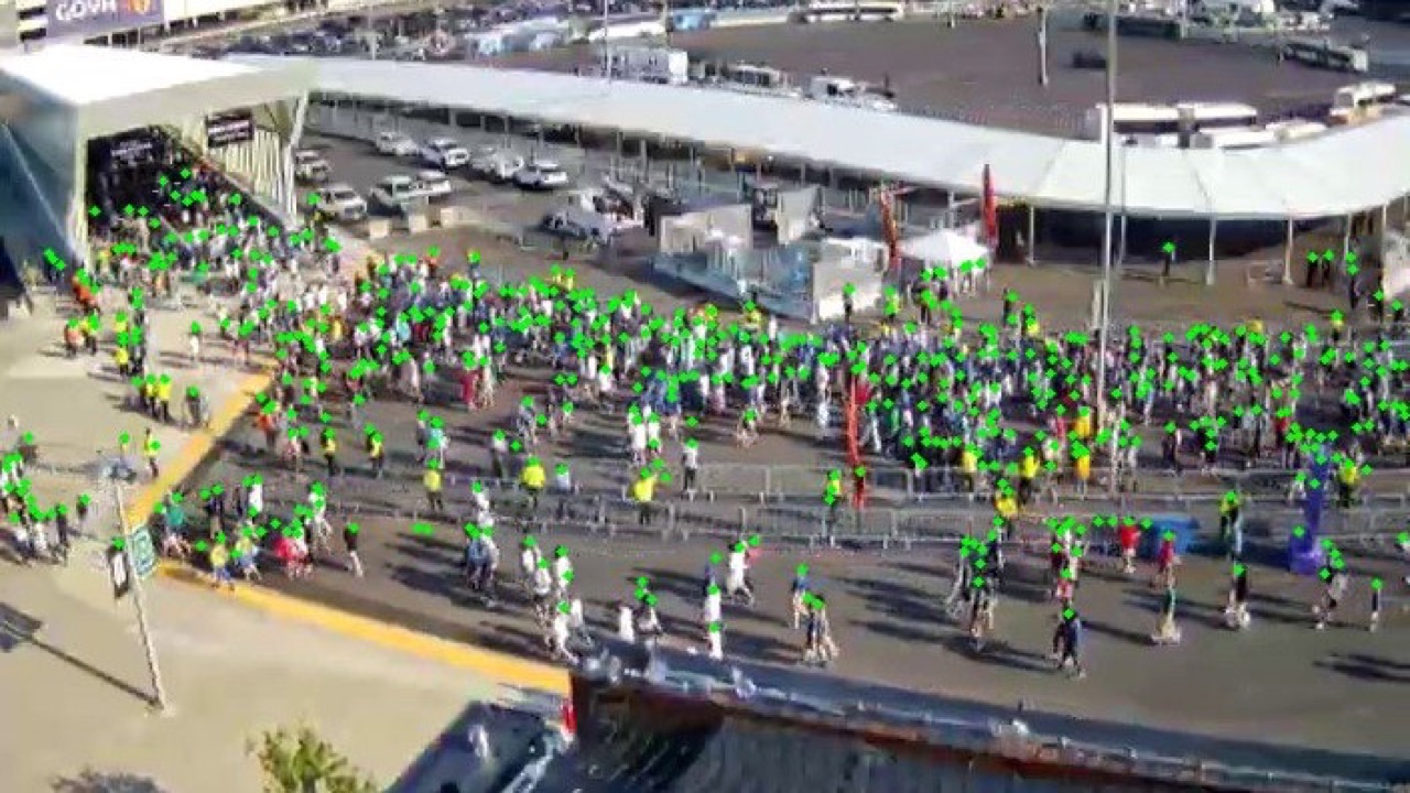
How do tens of thousands of fans move through the...
Read Morethrough three interventions: Vehicle-to-Infrastructure testing, Vehicle-to-Vehicle testing, and Pedestrian-focused applications – primarily through “Pedestrian in Signalized Intersection” warnings to vehicles, and through a Mobile Pedestrian Signal System to provide pedestrians with vision disabilities navigation assistance at signalized intersections.
As part of this last test, C2SMART researchers at New York University – in collaboration with NYCDOT and industry partners JHK and Harman – recruited volunteer participants with vision disabilities via local and national organizations to help conduct field tests of a phone application, PED-SIG, which could improve mobility of pedestrians with vision disabilities to navigate safely and independently through New York City.

“CV technologies have the potential to improve safety by providing real-time warnings to pedestrians and vehicles. The biggest beneficiaries of such safety focused warnings that can drastically reduce pedestrian involved accidents can be elderly and travelers with vision impairments,” says C2SMART Director Kaan Ozbay, whose work has included the development of algorithms using Basic Safety Message (BSM) data – such as information about vehicle size, speed, position, and direction – to communicate with connected vehicles for enhanced safety and mobility.
The app, in beta form, communicates with signalized intersection infrastructure in order to inform the user the state of the traffic light – whether the light says to walk, don’t walk, or if the light is flashing, as well as how much time they have before its status changes from flashing to “don’t walk.” The app also orients users at a signalized crosswalk by telling them the name of the intersecting streets and explaining at which corner they are standing, facing which direction. This is designed to help users make decisions around when and whether to cross the street, or if they will wait until the next “walk” status.
“Technologies like this can and should be harnessed to help ensure that New York City is navigable, accessible, and safe for all pedestrians,” says C2SMART’s lead researcher on the PED-SIG project, Dr. Jingqin Gao. “With some refinement and iteration, CV apps could enable New Yorkers with vision disabilities to be as mobile and independent as New Yorkers with perfect vision.”
Broadly speaking, users responded positively to the app — pedestrians responded positively to the app’s functionalities in post-test survey responses, including positive evaluations of safety perception, guidance accuracy, and overall app beneficence. It is clear that apps like this one could be a game changer for pedestrians with vision disabilities, making New York City more accessible and safe, as well as increasing overall transportation equity.
“CV technologies also have the potential to improve accessibility for disadvantaged populations by providing timely and efficient traveler information about the real time availability of transportation options, as well as non-recurrent congestion that can cause major delays at most unexpected times,” says Ozbay.
The field tests surfaced some key issues for improvement in any future iterations of the application:
- Accurate location information and accurate orientation is obviously vital for the app to be useful; currently, the app is limited by environmental interference with phone compasses.
- The app would benefit from enhanced customizability (ie, the ability for users to determine which of the alerts they want, how they want to receive them, and how often) would be a useful addition prior to wider release.
- 63% of participants veered off the crosswalk at least once during their field test; the app would benefit from more robust orientation guidance to better guide keep them walking within the crosswalks once they begin to cross.
- Future field tests could focus on ought to be conducted in more complex intersections, such as 5-leg intersections or intersections with a pedestrian island.
- The app would benefit from the ability to act seamlessly with existing accessible navigation applications.
However, technical barriers remain to app implementation, including the inevitable environmental interference that is inherent to a metropolis like New York City. CV technologies provide a great opportunity to facilitate accessibility and mobility, but future iterations should integrate all aspects of city navigation, including street crossings, surrounding information, transit accessibility, paratransit services, and more.
“CV technologies will be able to use both infrastructure based and in-vehicle sensors to collect situational data about the transportation system,” Ozbay explains, “especially those caused by extreme events such as hurricanes, earthquakes, major floods, and other extreme events, such as pandemics like COVID-19. This kind of information-rich sensing in CV technologies can help warn travelers about potential dangers and re-route them away from potentially hazardous locations.”
For more information, visit cvp.nyc.
Prof. Vignon Wins NSF Career Award
July 23, 2026 In July, NYU Tandon Professor Daniel Vignon,...
Read More
IEEE IV: Digital Twins for Intelligent Vehicles Symposium
June 22, 2026 Along with NYU Tandon, Rochester Institute of...
Read More
Save the Date: AI Applications in Urban Transportation Management Symposium
September 25, 2026 The New York City Department of Transportation...
Read More